Self-Driving Boat Can Map Underwater Terrain
A vessel developed by researchers in Texas performs bathymetric surveys to assist researchers with the study of earth sciences.
July 26, 2023

While self-driving cars are typically aimed at going from point A to point B, a newly developed self-driving boat invented by researchers in Texas has a bigger purpose—to conduct surveys of the depth and terrain of bodies of water.
Researchers at The University of Texas at El Paso (UTEP) have developed a fully autonomous boat that can perform what's called a bathymetric survey for oceans, rivers, and lakes, mapping the topography of what's at the bottom.
While it typically takes a crew of several people to drive these boats and carry out these surveys, the goal of the researchers in the development of the boat—a collaboration between UTEP Professor Laura Alvarez and graduate student Fernando Sotelo—was to simplify the process.
Indeed, bathymetric surveys are useful for scientists for various reasons, said Alvarez, an assistant professor in the Department of Earth, Environmental and Resource Sciences Department. “If you want to work in water-related studies, you need to know the shape and landscape of bodies of water," she said. "For example, you might want to map a reservoir to learn about water supply for electrical demand, or a river to learn about river evolution or flow patterns.”
From Concept to Completion
There already are a number of projects that have built self-driving boats for various purposes. The vessel developed by the UTEP team was born of an idea Alvarez had several years ago.
The professor, who specializes in studying and developing unmanned systems for earth science, eventually enlisted the help of Sotelo to fully realize her design over the course of a year.
As part of his master's thesis, Sotelo helped Alvarez extend the boat’s hours of operation and reliability, as well as make it fully autonomous and responsive to potential environmental issues like wind speed and temperature flux. The two also outfitted the boat with a fail-safe feature for detecting when batteries are low or wind gusts are too high and triggering a return-to-base function.
The watercraft itself is composed of an aluminum circular vessel that measures 3 feet-by-3-feet and rests on a thick black inner tube. The two first tested their design in the swimming pool at UTEP but eventually ventured into larger, more diverse water environments, such as New Mexico’s Grindstone and Elephant Butte lakes.
The boat is rudderless and operates with four thrusters, with a maximum travel speed of 5 feet per second and the ability to rotate 360 degrees. It's powered by a solar panel and a lithium battery, which means it can last up to four hours at sea, covering an area up to 472,400 square feet during that time.
To complete its bathymetric task, a multibeam echosounder—a sonar system—emits sound waves from the bottom of the boat. It calculates water depth by measuring the time it takes for the sound wave to hit the seafloor and return to the sonar system. Meanwhile, the type of sound that returns to the device helps it detect the type of material on the seafloor.
Proving the Concept of a Self-Driving Boat
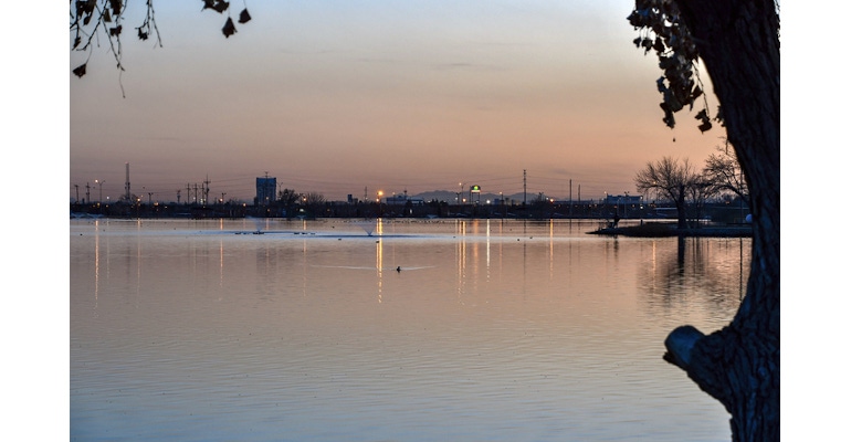
Once the pair was ready to prove their concept, they set the boat off across Ascarate Lake in El Paso, TX, and Grindstone Lake in Ruidoso, NM, where it successfully created 2D and 3D maps of portions of the each of the lakes.
“My goal was to make the boat state-of-the-art and I think I did that," Sotelo said of the work.
Though he acknowledged room for improvement in the design, he said that he hopes the current system makes it easier for scientists such as Alvarez to conduct their research. In fact, she plans to put the boat to scientific use for the first time this summer to study the flow and depth of the Rio Grande River in Texas.
The team published a paper on their work in the journal, Sensors, including instructions to replicate it so that anyone else who wants to can also reproduce the design. “It serves as an effective guideline to get them started," Alvarez said. The team also posted a video on YouTube about the vessel.
About the Author(s)
You May Also Like


